
![]()
Itinerari TREKKING - Corsica
TREKKING routes - Corsica
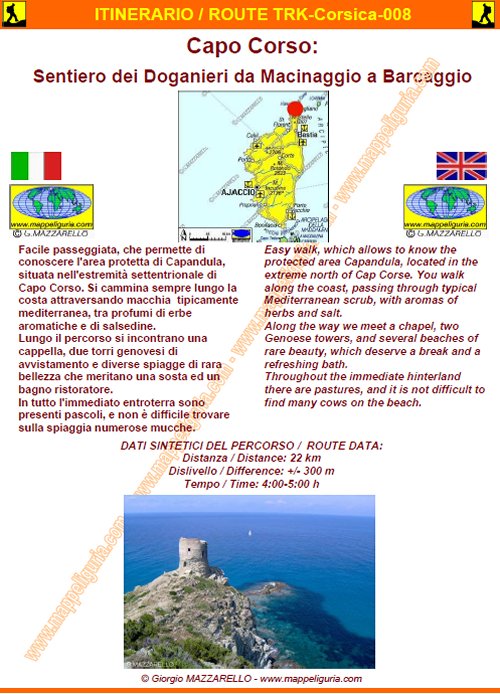
Corsica-008 - Capo Corso: Sentiero dei Doganieri Macinaggio-Barcaggio
DATA/DATE
Maggio 2008
May 2008
NOTE GENERALI / GENERAL NOTES
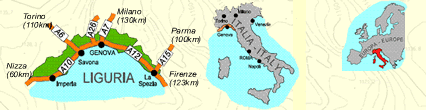
Facile passeggiata, che permette di conoscere l'area protetta di Capandula, situata nell'estremit� settentrionale di Capo Corso. Si cammina sempre lungo la costa attraversando macchia tipicamente mediterranea, tra profumi di erbe aromatiche e di salsedine. Lungo il percorso si incontrano una cappella, due torri genovesi di avvistamento e diverse spiagge di rara bellezza che meritano una sosta ed un bagno ristoratore. In tutto l'immediato entroterra sono presenti pascoli, e non � difficile trovare sulla spiaggia numerose mucche.
Easy walk, which allows to know the protected area Capandula, located in the extreme north of Cap Corse. You walk along the coast, passing through typical Mediterranean scrub, with aromas of herbs and salt. Along the way we meet a chapel, two Genoese towers, and several beaches of rare beauty, which deserve a break and a refreshing bath. Throughout the immediate hinterland there are pastures, and it is not difficult to find many cows on the beach.
DATI SINTETICI DEL PERCORSO / ROUTE DATA
Distanza / Distance: 22 km
Dislivello / Difference: +/-300 m
Tempo / Time: 4:00-5:00 h
LOCALITA' DI PARTENZA / STARTING PLACE
Si parte dal borgo di Macinaggio.
The route starts from the village of Macinaggio.
COME ARRIVARE / HOW TO REACH STARTING PLACE
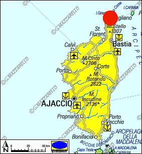
![]() Da Bastia si procede verso nord lungo tutta la costa orientale fino a Macinaggio.
Da Bastia si procede verso nord lungo tutta la costa orientale fino a Macinaggio.
From Bastia, you head north along the east coast until you reach Macinaggio
PERIODO / WHEN TO GO
Tutto l�anno.
Si consiglia di evitare la piena estate per il caldo.
La primavera � forse il periodo pi� indicato per le fioriture.
This route is open year-round.
It is advisable to avoid the height of summer, due to the heat.
Spring is perhaps the best time, to the beautiful blooms.
DIFFICOLTA' / DIFFICULTIES
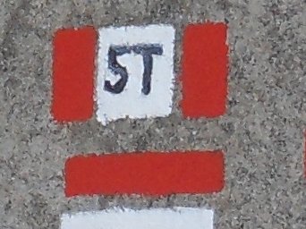
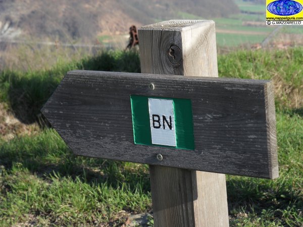
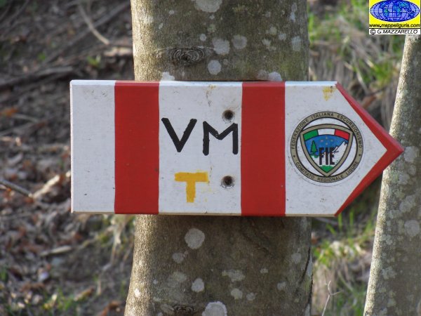
Secondo la scala CAI: T (Turistica).
Il percorso si svolge su strade asfaltate, strade sterrate e su facili sentieri sempre ben segnalati.
According to the scale CAI: T (Turistica).
The whole route runs on paved roads, dirt roads and easy paths, always well marked.
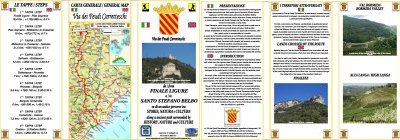
SCHEDA PERCORSO / ROAD-BOOK
LIBRETTO DI 8 PAGINE CON TUTTI I DATI PER EFFETTUARE L'ITINERARIO
BOOKLET OF 8 PAGES WITH INSIDE ALL INFOMATIONS TO MAKE THE ROUTE
QUALCHE FOTO / SOME PICTURES
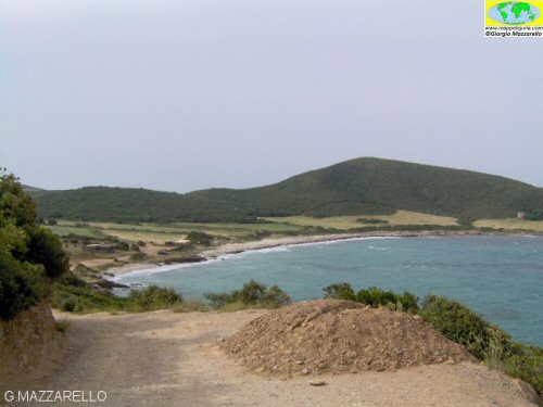
La bella spiaggia di Tamarone / The beautiful beach of Tamarone
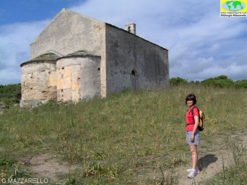
La Cappella di S.Maria / The Chapel of St. Mary
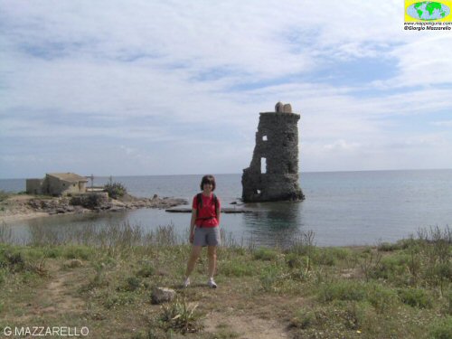
La Torre di S.Maria / The Tower of St. Mary
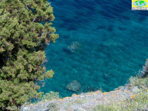
Mare cristallino / crystal clear sea
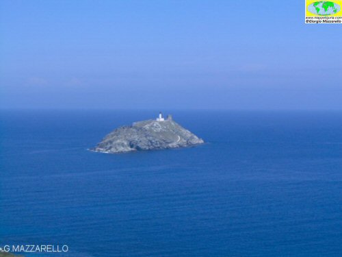
L'isola della Giraglia / Giraglia Island
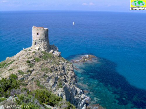
La Torre dell'Agnello / Agnello Tower
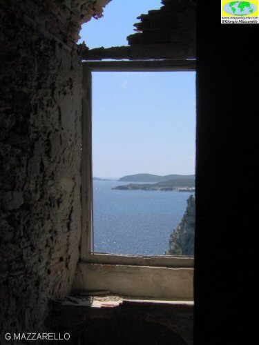
Dall'interno della Torre dell'Agnello / View from inside Agnello Tower
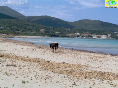
Spiaggia di Barcaggio / Barcaggio beach
NOTE /NOTICE
Pur avendo prestato la massima attenzione nella stesura della descrizione del percorso, a causa della mutevolezza del territorio, della variabilita' delle condizioni meteo e di eventuali errori od imprecisioni o giudizi soggettivi indicati nel presente testo, l'autore declina ogni responsabilita' per eventuali incidenti che potrebbero verificarsi. Chi desidera effettuare questo percorso lo fa a proprio rischio e pericolo.
In the description of the route I have done the greatest care, but because of the changing nature of the area, the variability of weather conditions and any errors or inaccuracies or subjective judgments referred to in this text, the author disclaims all responsibility for any accidents that may occur. Those wishing to go this route you do so at your own risk.
Chiunque desiderasse avere maggiori informazioni su questo itinerario, mi
puo' contattare.
Do you want more information about this route?
Please write me
