

![]()
Itinerari TREKKING - Provincia di Genova
TREKKING routes - Genova district
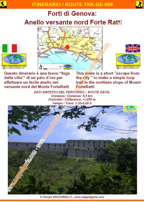
TRK-GE-098
Forti di Genova:
Anello versante nord Forte Ratti
Fortifications of Genoa:
Loop in the northern side of Forte Ratti
DATA/DATE
Marzo 2012
March 2012
NOTE GENERALI / GENERAL NOTES
Questo itinerario � una breve "fuga dalla citta'" di un paio d�ore per effettuare un facile anello nel versante nord del Monte ForteRatti
This route is a short "escape from the city" to make a simple loop trail in the northern slope of Mount ForteRatti
DATI SINTETICI DEL PERCORSO / ROUTE DATA
Distanza / Distance: 5,5 km
Dislivello / Difference: +/-250 m
Tempo / Time: 1:30-2:00 h
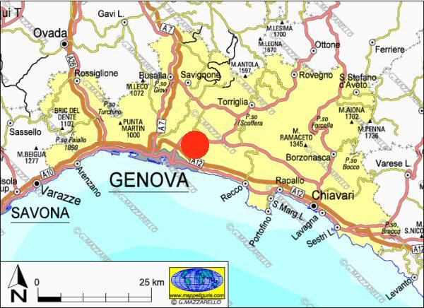
LOCALITA' DI PARTENZA / STARTING PLACE
Il percorso inizia nel borgo di S.Eusebio, frazione di Genova (GE).
The route begins in the village of S. Eusebio, a fraction of the city Genoa (GE).
COME ARRIVARE / HOW TO REACH STARTING PLACE
![]() Dall�uscita del casello di Ge-Est dell�Autostrada A12, prendiamo a sinistra e percorriamo
Via Adamoli sulla sponda orografica sinistra del Torrente Bisagno. Presso il
centro commerciale COOP prendiamo a destra e saliamo fino alla piazza di S.Eusebio,
dove possiamo lasciare l�auto nella piazza a fianco alla chiesa.
Dall�uscita del casello di Ge-Est dell�Autostrada A12, prendiamo a sinistra e percorriamo
Via Adamoli sulla sponda orografica sinistra del Torrente Bisagno. Presso il
centro commerciale COOP prendiamo a destra e saliamo fino alla piazza di S.Eusebio,
dove possiamo lasciare l�auto nella piazza a fianco alla chiesa.
From the exit of Ge-East of the A12 motorway, we turn left and run along Via Adamoli on the left orographic bank of the stream Bisagno. At the shopping center COOP, we turn right and go up to the square of S. Eusebio, where we can leave the car in the square next to the church.
PERIODO / WHEN TO GO
Tutto l�anno.
All the year.
DIFFICOLTA' / DIFFICULTIES
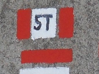
Secondo la scala CAI: T (Turistica).
Il percorso si svolge su strade asfaltate, strade mattonate,
sterrate e sentieri sempre evidenti e spesso segnalati.
According to CAI classification: T (for Tourists).
The route takes place on paved roads, brick streets, dirt roads and footpaths, always obvious and often marked.
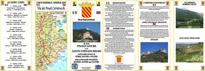
SCHEDA PERCORSO / ROAD-BOOK
LIBRETTO DI 8 PAGINE CON TUTTI I DATI PER EFFETTUARE L'ITINERARIO
BOOKLET OF 8 PAGES WITH INSIDE ALL INFOMATIONS TO MAKE THE ROUTE
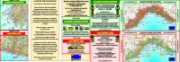
CARTE DI DETTAGLIO / DETAILED MAPS
Tutto il percorso descritto e' contenuto nelle seguenti tavole della collana
mini MAPPE OUTDOOR ACTIVITIES
This route is showed on following
mini MAPPE OUTDOOR ACTIVITIES type maps
Per raggiungere la localita' di partenza e' utile utilizzare la seguente tavola della
collana mini MAPPE CAR
To reach starting places is useful following
mini MAPPE CAR type map
Sei interessato alle CARTE DI DETTAGLIO di questo percorso?
CONTATTAMI
Are you interested about DETAILED MAPS of this route?
WRITE ME
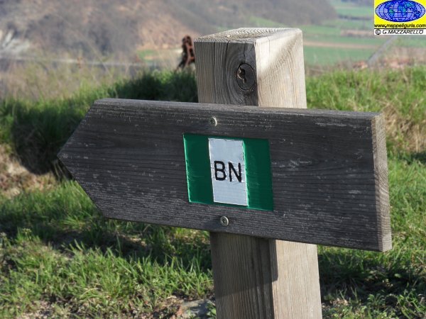
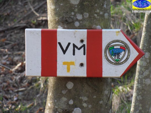
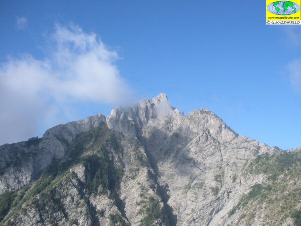
QUALCHE FOTO / SOME PICTURES
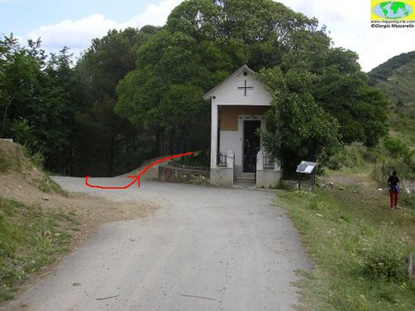
Nei pressi della Cappella degli Alpini
Near the Chapel of the Alpine
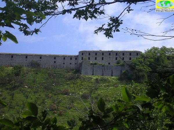
Vista sul Forte Ratti
View of Forte Ratti
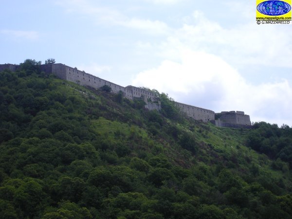
Vista sul Forte Ratti
View of Forte Ratti
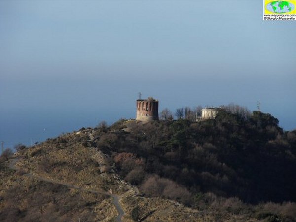
Panorama su Torre Quezzi
View of Quezzi Tower
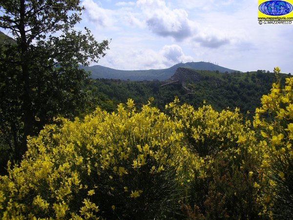
Ginestra in fiore lungo il percorso
A bush of gorse flower along the way
NOTE /NOTICE
Pur avendo prestato la massima attenzione nella stesura della descrizione del percorso, a causa della mutevolezza del territorio, della variabilita' delle condizioni meteo e di eventuali errori od imprecisioni o giudizi soggettivi indicati nel presente testo, l'autore declina ogni responsabilita' per eventuali incidenti che potrebbero verificarsi. Chi desidera effettuare questo percorso lo fa a proprio rischio e pericolo.
In the description of the route I have done the greatest care, but because of the changing nature of the area, the variability of weather conditions and any errors or inaccuracies or subjective judgments referred to in this text, the author disclaims all responsibility for any accidents that may occur. Those wishing to go this route you do so at your own risk.
Chiunque desiderasse avere maggiori informazioni su questo itinerario, mi
puo' contattare.
Do you want more information about this route?
Please write me
