
![]()
Itinerari TREKKING - Provincia di Genova
TREKKING routes - Genova district
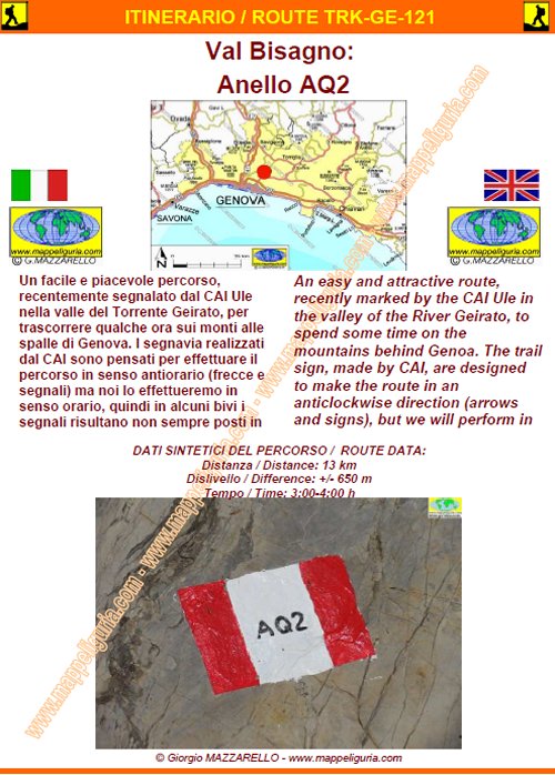
TRK-GE-121
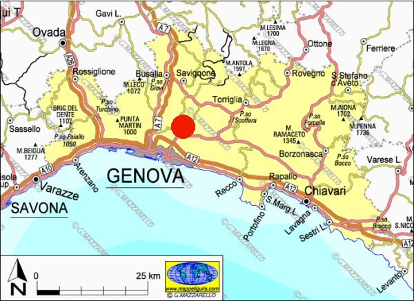
Val Bisagno: Anello AQ2
Bisagno Valley: AQ2 Loop
DATA/DATE
Aprile 2014
April 2014
NOTE GENERALI / GENERAL NOTES
Un facile e piacevole percorso, recentemente segnalato dal CAI Ule nella valle del Torrente Geirato, per trascorrere qualche ora sui monti alle spalle di Genova. I segnavia realizzati dal CAI sono pensati per effettuare il percorso in senso antiorario (frecce e segnali) ma noi lo effettueremo in senso orario, quindi in alcuni bivi i segnali risultano non sempre posti in modo visibile per il nostro senso di marcia.
An easy and attractive route, recently marked by the CAI Ule in the valley of the River Geirato, to spend some time on the mountains behind Genoa. The trail sign, made by CAI Ule, are designed to make the route in an anticlockwise direction (arrows and signs), but we will perform in a clockwise direction, then in some crossroads signals are not always placed in a visible way for our direction of travel.
DATI SINTETICI DEL PERCORSO / ROUTE DATA
Distanza / Distance: 13 km
Dislivello / Difference: +/-900 m
Tempo / Time: 3:00-4:00 h
LOCALITA' DI PARTENZA / STARTING PLACE
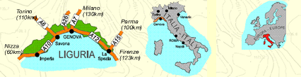
Si parte da Molassana, quartiere di Genova situato nella Val Bisagno.
The route starts from Molassana, district of Genoa, located in the Val Bisagno
COME ARRIVARE / HOW TO REACH STARTING PLACE
![]() Dall�uscita del casello di Ge-Est, dell�Autostrada A12, prendiamo a sinistra.
Percorriamo Via Lungo Bisagno Istria e poi proseguiamo su Via Adamoli, fino al
Ponte Fleming dove deviamo a sinistra per superare il Torrente ed entrare in
Molassana (grande posteggio a destra subito dopo il ponte)
Dall�uscita del casello di Ge-Est, dell�Autostrada A12, prendiamo a sinistra.
Percorriamo Via Lungo Bisagno Istria e poi proseguiamo su Via Adamoli, fino al
Ponte Fleming dove deviamo a sinistra per superare il Torrente ed entrare in
Molassana (grande posteggio a destra subito dopo il ponte)
From the exit of Ge-east of the A12 motorway, take the left. We walk along Via Bisagno Istria, and then continue on Via Adamoli, until you reach the bridge Fleming, where we turn off to the left. We go over the stream and enter into Molassana (large car park on the right just after the bridge).
PERIODO / WHEN TO GO
Tutto l�anno.
Da evitare la piena estate per il caldo.
Throughout all the year.
Avoid the summer, because of the heat.
DIFFICOLTA' / DIFFICULTIES
Secondo la scala CAI: T-E (Turistica-Escursionistica).
Il percorso si svolge interamente su asfaltate, sterrate e facili sentieri sempre segnalati.
![]()
According to the CAI scale: T-E (Turistica-Escursionistica)
The route is entirely on paved, unpaved and easy foot-paths always marked.
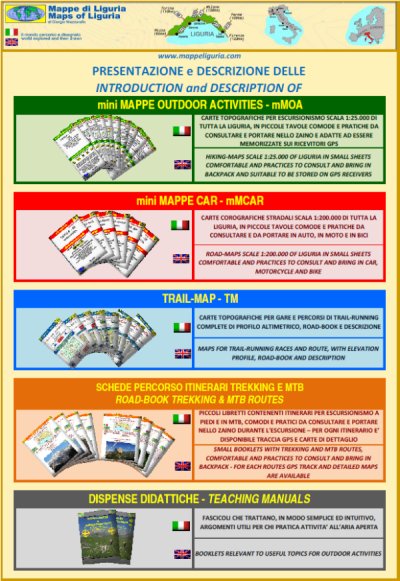
SCHEDA PERCORSO / ROAD-BOOK
LIBRETTO DI 14 PAGINE CON TUTTI I DATI PER EFFETTUARE L'ITINERARIO
BOOKLET OF 14 PAGES WITH INSIDE ALL INFOMATIONS TO MAKE THE ROUTE
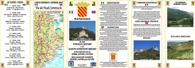
CARTE DI DETTAGLIO / DETAILED MAPS
Tutto il percorso descritto e' contenuto nelle seguenti tavole della collana
mini MAPPE OUTDOOR ACTIVITIES
This route is showed on following
mini MAPPE OUTDOOR ACTIVITIES type maps
Per raggiungere la localita' di partenza e' utile utilizzare la seguente tavola della
collana mini MAPPE CAR
To reach starting places is useful following
mini MAPPE CAR type map
Sei interessato alle CARTE DI DETTAGLIO di questo percorso?
CONTATTAMI
Are you interested about DETAILED MAPS of this route?
WRITE ME
QUALCHE FOTO / SOME PICTURES
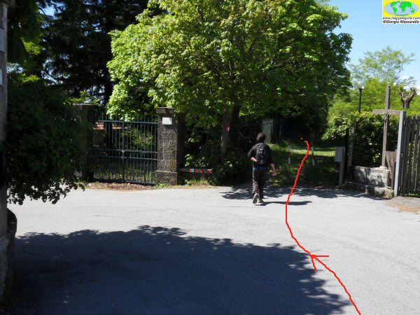
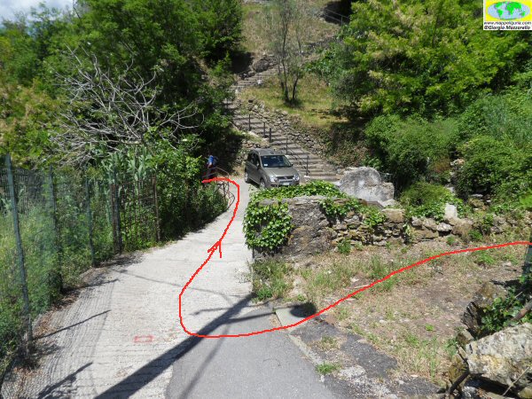
Salendo verso San Giacomo di Molassana
Going to San Giacomo di Molassana
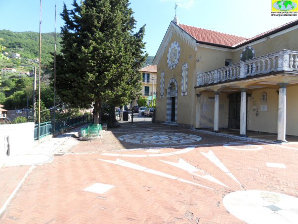
La piccola chiesa di San Giacomo of Molassana
The small church of San Giacomo of Molassana
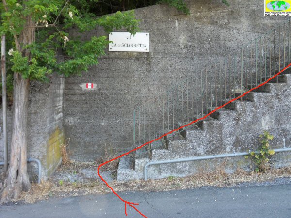
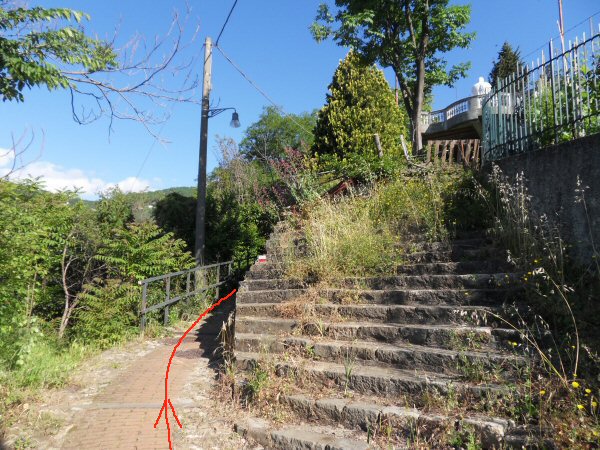
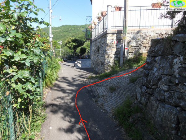
La scalinata (Via ca' di Sciarretta) che si imbocca poco dopo la Chiesa di San Giacomo di Molassana
The staircase (Via ca 'of Sciarretta) which starts shortly after the San Giacomo Church of Molassana
Salendo verso il borgo Castello di Pino
Climbing towards the village Castello of Pino
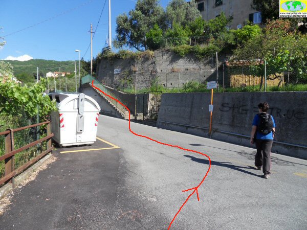
Il primo attraversamento della strada asfaltata percorrendo Via Ca' di Sciarretta
The first crossing of the paved road along Via Ca' of Sciarretta
Presso l'ultima casa del borgo Castello di Pino, dove si devia a destra su sentiero.
At the last house in the village of Castello di Pino, where you turn right on the footpath.
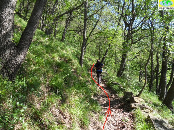
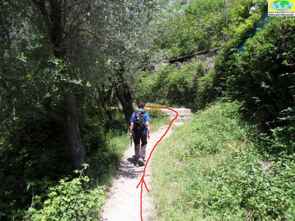
Lungo il sentiero poco dopo il borgo Castello di Pino
Along the footpath just after the village of Castello di Pino
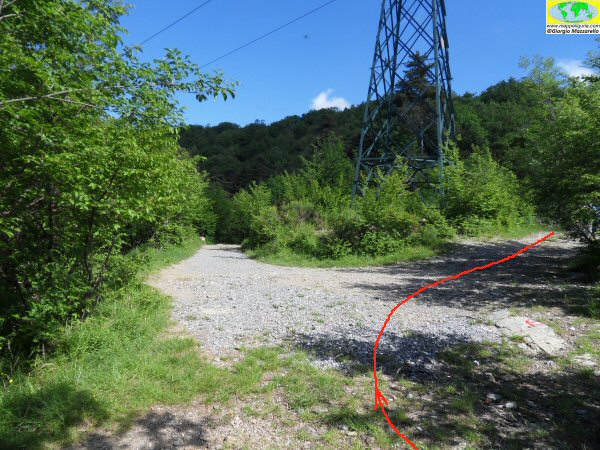
Presso l'innesto sulla strada sterrata dell'aquedotto di Val Noci
Where you take the dirt road of aqueduct of Val Noci
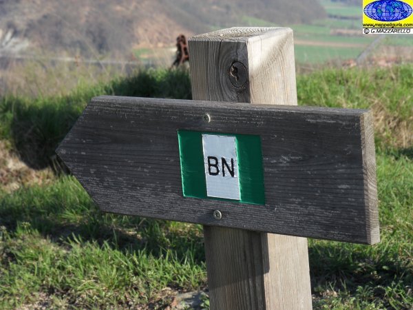
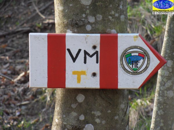
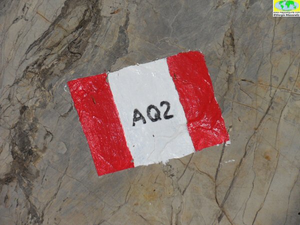
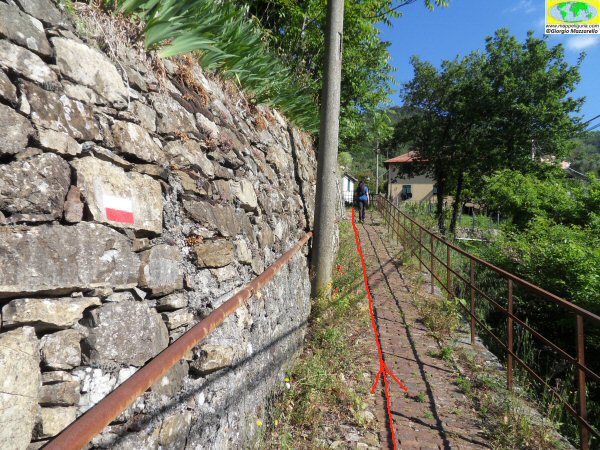
Uno dei numerosi segnavia che si incotrano
One of the many trail signs that incotrano
Presso l'imbocco della condotta dell'acquedotto di Val Noci
At the entrance to the conduct of the aqueduct of Val Noci

Presso la Colla del Canile
At Colla del Canile
A Creto, dove si lascia l'asfalto per deviare su sentiero
A Creto, where you leave the asphalt and take the footpath
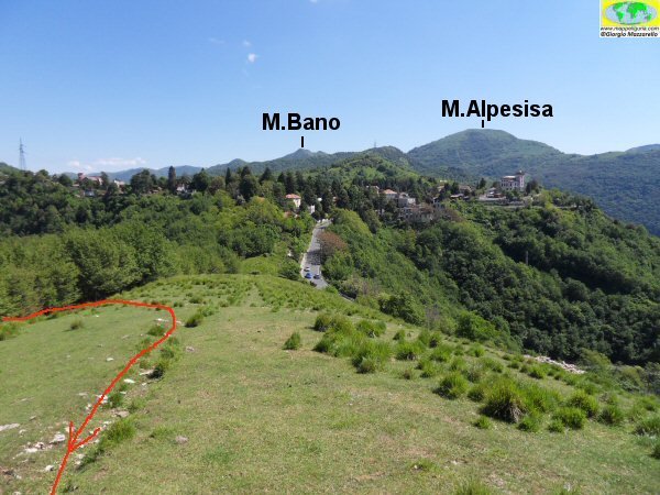
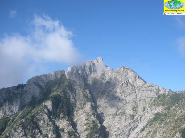
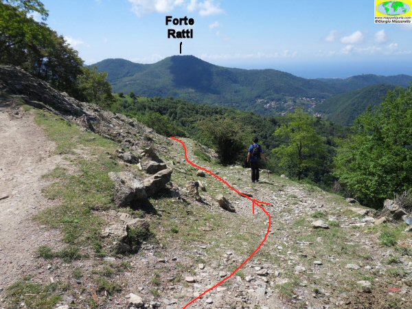
Panorama su Creto e sul Monti Alpesisa e Bano
Panoramic views of Creto and the mountains Alpesisa and Bano
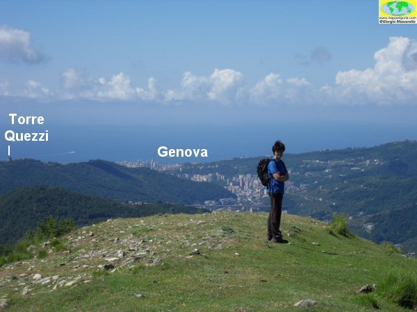
Panorama su Genova
Panorama of Genova
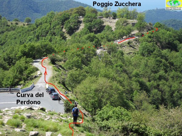
Dove il sentiero tocca la Curva del Perdono
Where the trail touches the Curva del Perdono
Scendendo verso la Croce di San Siro
Going down to the Cross of San Siro
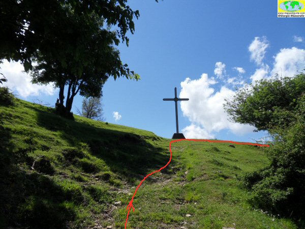
Croce di San Siro
Cross of San Siro
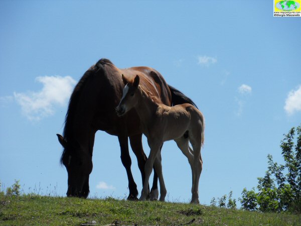
Abitanti locali
Locals
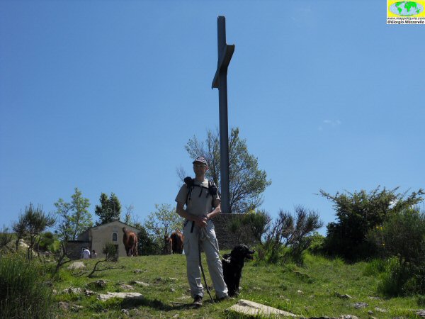
Presso la Croce di San Siro
At Cross of San Siro
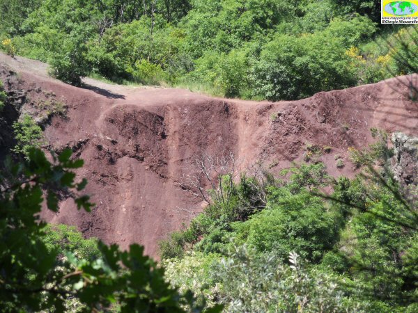
Panorama sulle Terre Rosse
Panorama on Terre Rosse
Presso il bivio delle Terre Rosse, dove a destra e' possibile effettuare la breve
deviazione per il Castelluzzo di Molassana
At the junction of the Red Earths where, on the right, you can make
a short detour to the Castelluzzo Molassana
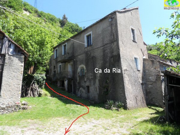
Presso Ca' da Ria
At Ca' da Ria
Poco dopo Ca' da Ria
Shortly after Ca' da Ria
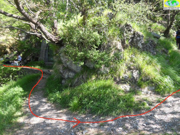
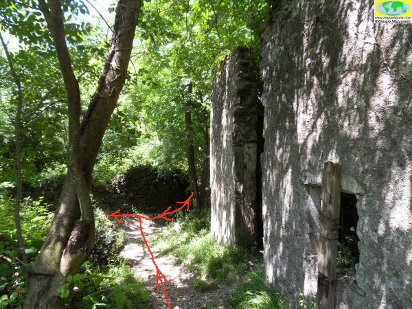
Presso il lavatoio, poco prima di raggiungere il Vecchio Acquedotto della Val Bisagno
At the wash-tub, just before you reach the Old Aqueduct of Val Bisagno
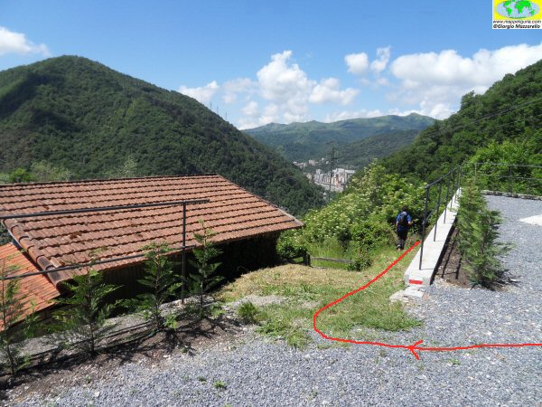
Lungo il Vecchio Acquedotto della Val Bisagno
Along the Old Aqueduct of Val Bisagno
NOTE /NOTICE
Pur avendo prestato la massima attenzione nella stesura della descrizione del percorso, a causa della mutevolezza del territorio, della variabilita' delle condizioni meteo e di eventuali errori od imprecisioni o giudizi soggettivi indicati nel presente testo, l'autore declina ogni responsabilita' per eventuali incidenti che potrebbero verificarsi. Chi desidera effettuare questo percorso lo fa a proprio rischio e pericolo.
In the description of the route I have done the greatest care, but because of the changing nature of the area, the variability of weather conditions and any errors or inaccuracies or subjective judgments referred to in this text, the author disclaims all responsibility for any accidents that may occur. Those wishing to go this route you do so at your own risk.
Chiunque desiderasse avere maggiori informazioni su questo itinerario, mi
puo' contattare.
Do you want more information about this route?
Please write me
