
![]()
Itinerari TREKKING - PIEMONTE
TREKKING routes - PIEMONTE
TRK-Piemonte-067
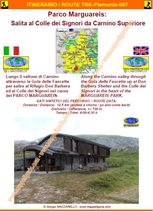
Parco Marguareis:
Salita al Colle dei Signori da Carnino Superiore
Marguareis Park:
Climb to Colle dei Signori starting from Carnino Superiore
DATA/DATE
Luglio 2015
July 2015
NOTE GENERALI / GENERAL NOTES
Lungo il vallone di Carnino attraverso la Gola della Chiusetta per salire al Rifugio Don Barbera ed al Colle dei Signori nel cuore del PARCO NATURALE DEL MARGUAREIS.
Along the Carnino valley through the Gola of Chiusetta up to Don Barbera Shelter and the Colle dei Signori in the heart of the MARGUAREIS PARK.
DATI SINTETICI DEL PERCORSO / ROUTE DATA
Distanza / Distance: 12,5 km (andata e ritorno / go and come back)
Dislivello / Difference: +/-700 m
Tempo / Time: 4:00-4:30 h
LOCALITA' DI PARTENZA / STARTING PLACE
Il percorso inizia dal borgo di Carnino Superiore, nel comune di Briga Alta (CN).
The route starts from the village of Carnino Superiore, in the municipality of Briga Alta (CN).
COME ARRIVARE / HOW TO REACH STARTING PLACE
![]() Dal Piemonte: dall�uscita del casello di Ceva dell�autostrada A6, prendiamo per
Garessio e Ormea. Risaliamo tutta la Val Tanaro fino a Ponte di Nava
dove deviamo a destra per Upega.
Dal Piemonte: dall�uscita del casello di Ceva dell�autostrada A6, prendiamo per
Garessio e Ormea. Risaliamo tutta la Val Tanaro fino a Ponte di Nava
dove deviamo a destra per Upega.
Dalla Liguria: dall'uscita del casello di Imperia Est dell'autostrada A10
prendiamo a destra per Torino. Seguiamo la strada statale n.28,
oltrepassiamo il Colle di Nava e scendiamo a Ponte di Nava dove deviamo a sinistra per Upega.
Oltrepassiamo il borgo di Viozene e poco dopo deviamo a destra per
Carnino Superiore che raggiungiamo (piccola area posteggio all�ingresso del paese)
From Piemonte: from the exit of Ceva of A6 motorway, we take direction
Garessio and Ormea. We climb all the Tanaro Valley up to Ponte di Nava
where we turn off to the right for Upega.
From Liguria: from the exit Imperia Est of A10 motorway, we turn right
towards Turin. We follow the main road 28, we past the Colle di Nava
and go down to Ponte di Nava where we turn off to the left to Upega.
We pass the village of Viozene and shortly after we turn off to
the right to Carnino Superiore that we reach (small parking area at the entrance of the village).
PERIODO / WHEN TO GO
Da inizio estate ad autunno inoltrato.
From early summer to late autumn.
DIFFICOLTA' / DIFFICULTIES
Secondo la scala CAI: E (Escursionistica)
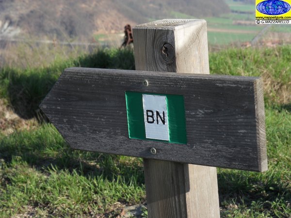
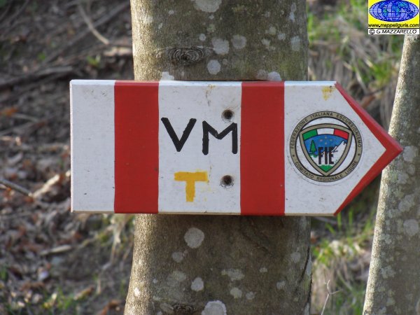
Il percorso si svolge su sentieri segnalati.
![]()
According to CAI classification: E (for Normal Hiker).
The whole route runs on foot-paths, always marked.
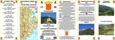
SCHEDA PERCORSO / ROAD-BOOK
LIBRETTO DI 10 PAGINE CON TUTTI I DATI PER EFFETTUARE L'ITINERARIO
BOOKLET OF 10 PAGES WITH INSIDE ALL INFOMATIONS TO MAKE THE ROUTE
QUALCHE FOTO / SOME PICTURES
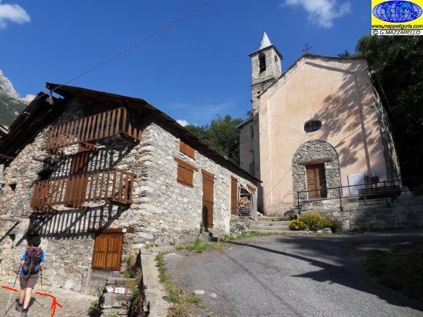
Presso Carnino Superiore
At Carnino Superiore
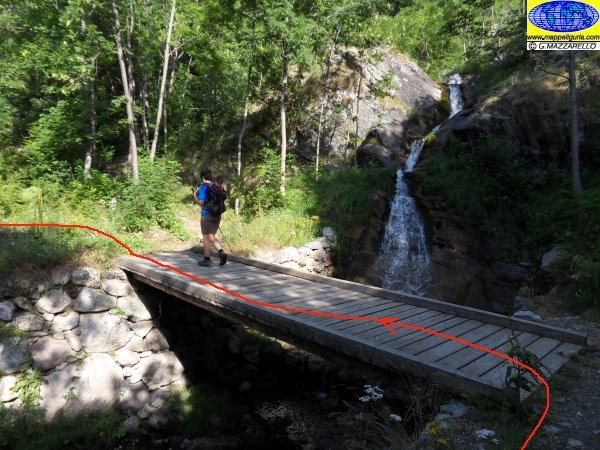
Il ponte che attraversiamo subito dopo il borgo di Carnino Superiore
The bridge that we cross just after the village of Carnino Superiore
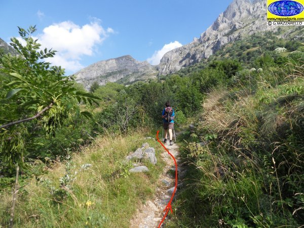
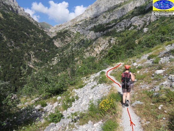
Salendo verso il Piano Ciucchea
Going up to Piano Ciucchea
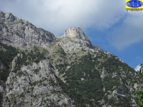
Panorama sulla Rocca Fera'
Panorama on the Rock Fera '
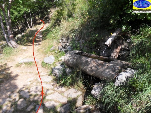
Presso la Fontana dei Giraudi
At Giriaudi fountain
Salendo verso la Gola della Chiusetta
Going up to the Gola della Chiusetta
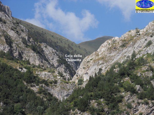
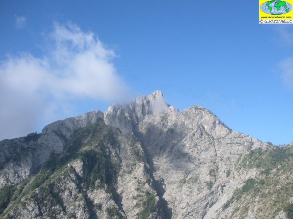
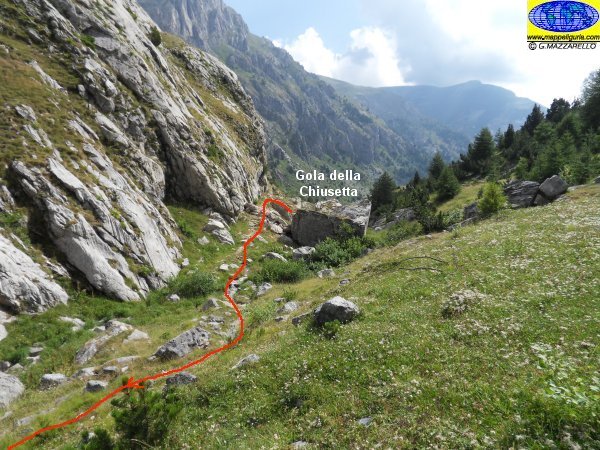
Panorama sulla Gola della Chiusetta
View of Gola della Chiusetta
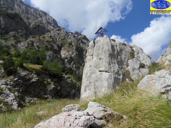
La Gola della Chiusetta
At Gola della Chiusetta
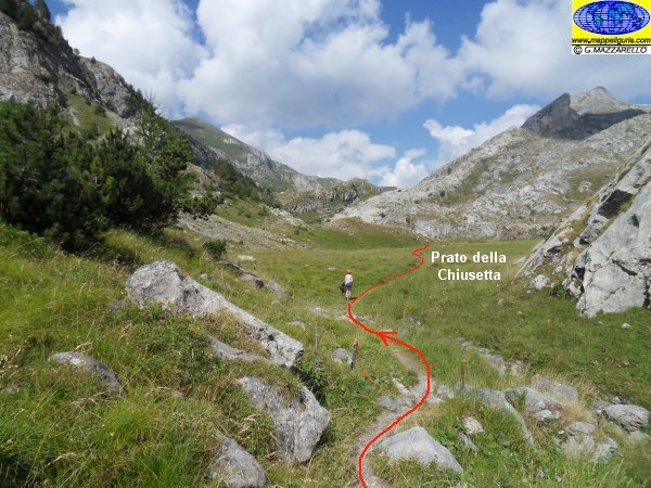
Percorrendo il Prato della Chiusetta
Along the meadow Chiusetta
Panorama della Gola della Chiusetta
View of Gola della Chiusetta
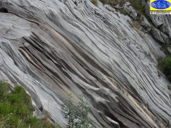
Rocce solcate poco dopo il Prato della Chiusetta
Rocks carved by water, shortly after the meadow Chiusetta
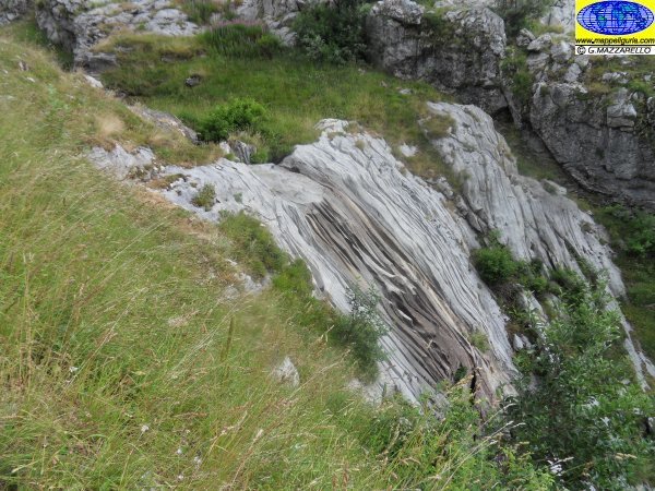
Rocce solcate poco dopo il Prato della Chiusetta
Rocks carved by water, shortly after the meadow Chiusetta
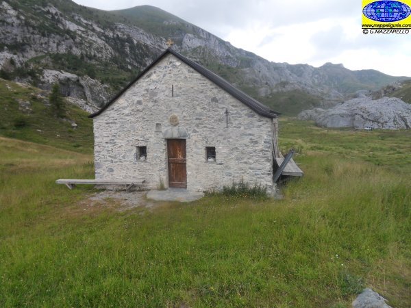
La piccola chiesa di Sant'Erim
The small church of Sant'Erim
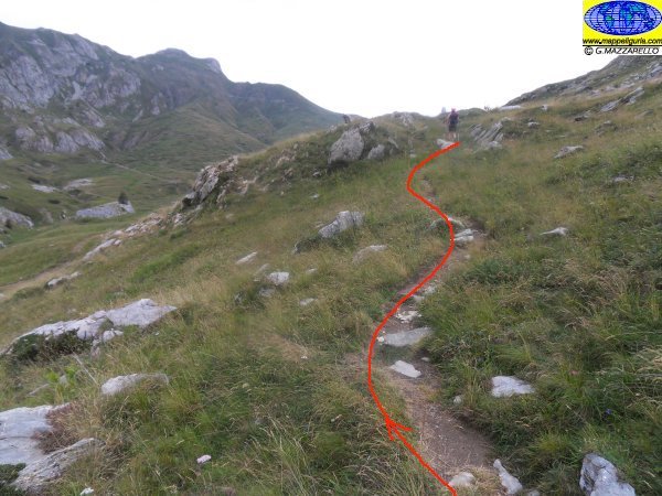
Il sentiero che sale lungo il Vallone dei Maestri
The footpath along the Maestri Valley
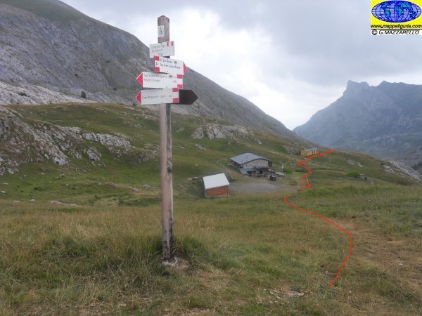
Presso il Colle dei Signori
At Colle dei Signori
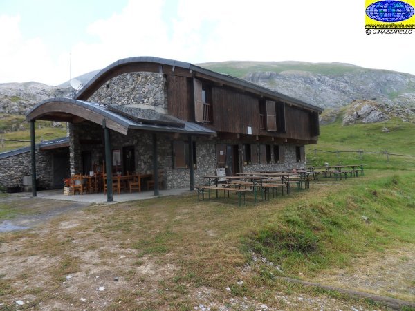
Il Rifugio Don Barbera
Don Barbera Shelter
NOTE /NOTICE
Pur avendo prestato la massima attenzione nella stesura della descrizione del percorso, a causa della mutevolezza del territorio, della variabilita' delle condizioni meteo e di eventuali errori od imprecisioni o giudizi soggettivi indicati nel presente testo, l'autore declina ogni responsabilita' per eventuali incidenti che potrebbero verificarsi. Chi desidera effettuare questo percorso lo fa a proprio rischio e pericolo.
In the description of the route I have done the greatest care, but because of the changing nature of the area, the variability of weather conditions and any errors or inaccuracies or subjective judgments referred to in this text, the author disclaims all responsibility for any accidents that may occur. Those wishing to go this route you do so at your own risk.
Chiunque desiderasse avere maggiori informazioni su questo itinerario, mi
puo' contattare.
Do you want more information about this route?
Please write me
