Fascicolo di presentazione delle carte di mappeliguria
Booklet of map description of mappeliguria
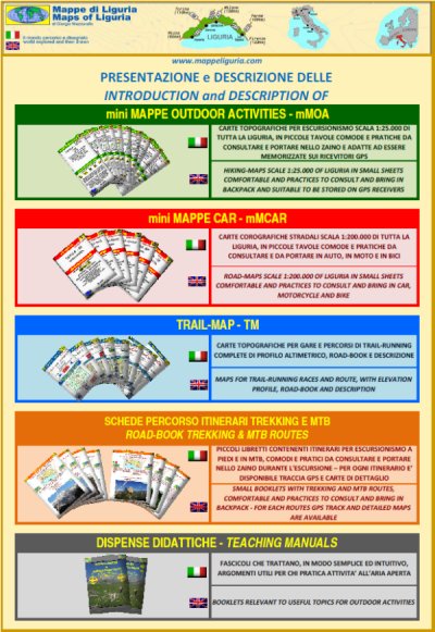
Pieghevole di mappeliguria
Brochure of mappeliguria
- Le mini MAPPE OUTDOOR ACTIVITES (mMOA)
- Quadro Unione Tavole Overall View of Sheets
- mMOA e GPS mMOA and GPS
- Esempio di mMOA scaricabileDownload an example of mMOA
- - Provincia di Imperia Imperia district
- - Provincia di Savona Savona district
- - Provincia di Genova Genova district
- - Provincia di La Spezia La Spezia district
- - Provincia di Cuneo Cuneo district
- Le mini MAPPE CAR (mMCAR)
- Esempio di mMCar scaricabileDownload an example of mMCar
- - Provincia di Imperia Imperia district
- - Provincia di Savona SSavona district South
- - Provincia di Savona NSavona district North
- - Provincia di Genova OGenova district West
- - Provincia di Genova EGenova district East
- - Provincia di La Spezia La Spezia district
- Le TRAIL MAP (TM)
- Trail di Santa Croce
- Valle Maira Sky Marathon
- Cantoca - Trail dell'Antola
- Trail dei Fieschi
- Correre tra i Forti
- RigAntoCa
- SciaccheTrail
- - A PIEDI
trekking
- - IN BICICLETTA
MTB and ROAD
- TOPOGRAFIA E ORIENTAMENTO MAPPING AND ORIENTATION
- METEOROLOGIA METEOROLOGY

"Alta Via delle Cinque Terre"
75 km di sentieri da percorrere in 3-4 giorni per passare dal blu del mare del Golfo dei Poeti al verde delle faggete del Monte Zatta.
"Alta Via delle Cinque Terre"
75 km of foot-paths to do in 3-4 days to pass from the blue sea of the Gulf of Poets to the green of the Monte Zatta beech.
"Bormida Natura"
130 km di sentieri immersi nei fitti boschi della Valle Bormida, vero e proprio "Polmone Verde" della Provincia di Savona, da percorrere in 5-8 giorni.
"Bormida Natura"
130 km of footpaths inside the dense woods of the Bormida Valley, a true "green lung" of the Province of Savona, to be covered in 5-8 days.
Via del Sale o del Mare Varzi-Portofino
3-4 giorni di cammino per passare dalle verdi colline dell'Oltrepo' Pavese al profondo blu del mare di Portofino.
Salt or Sea Route Varzi-Portofino
3-4 days of walking to go from the green hills of Oltrepo' Pavese to the deep blue of the sea of Portofino.

Itinerario Terre Alte
Un lungo itinerario da fare in 4-6 giorni per scoprire i monti dell'immediato entroterra della Riviera delle Palme.
Terre Alte Route
A long journey to do in 4-6 days to discover the mountains of the immediate hinterland the Riviera delle Palme.
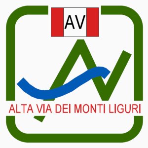
Alta Via dei Monti Liguri
18-25 giorni di cammino lungo i crinali liguri a cavallo tra il mare e la pianura Padana.
High Path of Ligurian Mountains
18-25-day of walking along the Ligurian mountain ridges, between the sea and the Po Valley.

Sentiero Liguria
35 giorni di cammino immersi nei colori e nei profuni liguri toccando tutti i borghi costieri.
Liguria Footh-Path
35 days of walking, immersed in the colors and fragrances of Liguria touching all the coastal villages.
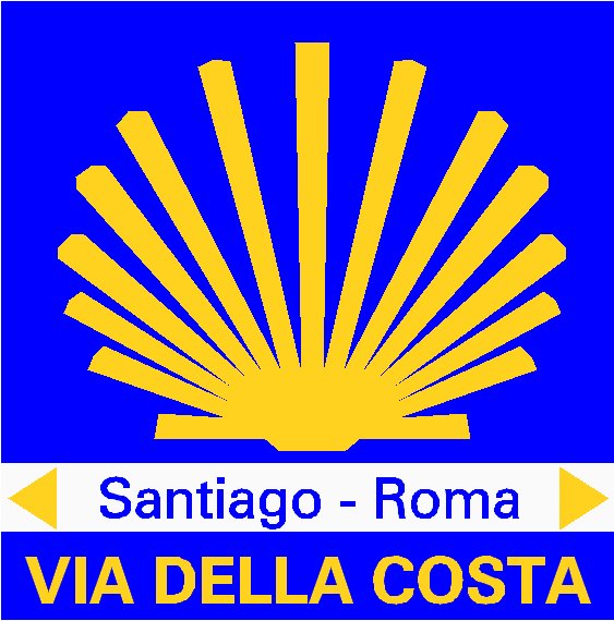
Via della Costa
Un lungo cammino di pellegrinaggio a piedi, da fare in 12-24 giorni, lungo la costa ligure in direzione di Santiago di Compostela
Coast Route
A long journey of pilgrimage by foot in 12-24 days along the Ligurian coast, in the direction of Santiago de Compostela
2 giorni in MTB lungo l'antica VIA DEL SALE
che da Limone Piemonte raggiunge Ventimiglia attraversanto ben 2 parchi naturali:
2 days in MTB along the ancient SALT ROUTE (VIA DEL SALE) from Limone Piemonte to Ventimiglia through 2 natural parks:
PARCO NATURALE REGIONALE DELLE ALPI LIGURI,
PARCO NATURALE REGIONALE DEL MARGUAREIS.

La storica lunga marcia, organizzata dal
CAI Sez. Sampierdarena,
che dal Parco Urbano delle Mura, situato sulle alture di Genova, raggiunge il Monte Antola,
cuore e perno dell'omonimo Parco Naturale.
The historic long march, organized by the CAI Section of Sampierdarena
from Parco Urbano delle Mura to the Antola Monunain (PARCO ANTOLA).

 Dalla Liguria al Piemonte su di un antico percorso tra storia natura e cultura
From Liguria to Piemonte along an ancient route between nature, culture and history
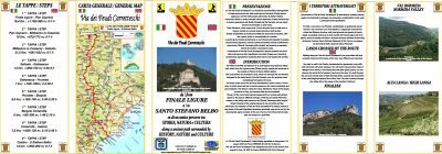
scarica il pieghevole della "Via dei Feudi Carretteschi"
download the brochure of "Via dei Feudi Carretteschi"

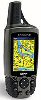
Le mini MAPPE OUTOODR ACTIVITIES sul GPS
Hiking Maps mMOA type on your GPS receiver
Molte delle carte presenti su questo sito hanno ricevuto il patrocinio di:
Many of the maps on this site have received the support of:


TRAIL MAP - Valle Maira Sky Marathon - Canosio e Marmora (CN)

 46 km di pura montagna con quasi 2500 m di dislivello.
Si risale lo stretto Vallone del Preit, fino al grande altopiano della Gardetta
che si percorre tutto da ovest ad est, per poi scendere nel Vallone di Marmora.
Piu' di 24 km di gara a quote superiori ai 2000 m, tra pascoli alpini costellati
da rocce dolomitiche ed antiche fortificazioni di confine, sempre sovrastati dalla Rocca La Meja.
46 km di pura montagna con quasi 2500 m di dislivello.
Si risale lo stretto Vallone del Preit, fino al grande altopiano della Gardetta
che si percorre tutto da ovest ad est, per poi scendere nel Vallone di Marmora.
Piu' di 24 km di gara a quote superiori ai 2000 m, tra pascoli alpini costellati
da rocce dolomitiche ed antiche fortificazioni di confine, sempre sovrastati dalla Rocca La Meja.
 46 km of genuine mountain with nearly 2500 m of elevation gain.
Climb the narrow Valley of Preit, until you reach the great plateau Gardetta,
which runs through from west to east, and then down into the Valley of Marmora.
More than 24 km race at altitudes above 2000 m, through alpine meadows dotted with
dolomite rocks and ancient fortifications of the state-border, continuously dominated by the Rocca La Meja.
46 km of genuine mountain with nearly 2500 m of elevation gain.
Climb the narrow Valley of Preit, until you reach the great plateau Gardetta,
which runs through from west to east, and then down into the Valley of Marmora.
More than 24 km race at altitudes above 2000 m, through alpine meadows dotted with
dolomite rocks and ancient fortifications of the state-border, continuously dominated by the Rocca La Meja.
VALLE MAIRA SKY MARATHON - Edizione/Issue 3
14 settembre/september 2014
EDIZIONI PRECEDENTI/PREVIOUS ISSUES
- VALLE MAIRA SKY MARATHON Edizione/Issue 2 - 15 settembre/september 2013
- VALLE MAIRA SKY MARATHON Edizione/Issue 1 - 9 settembre/september 2012
- VALLE MAIRA SKY MARATHON Edizione/Issue 0 - 11 settembre/september 2011
.JPG)