TRAIL MAP - RigAntoCa - Genova (GE)
Qualche foto del percorso / Some pictures of the route
Poco dopo la partenza, si procede lungo il piazzale del Righi da dove si vede bene
l'Osteria delle Baracche che si raggiunge dopo pochi minuti di cammino
Shortly after the start, we proceed along the esplanade of the Righi from where
one can see the Tavern of the barracks, which is reached after a few minutes' walk
Si affianca l'Antica Osteria delle Baracche
We go along the Antica Osteria delle Baracche
Lungo il "Sentiero delle Farfalle"
Along "Foot-Path of Butterflies"
La bella mulattiera nei pressi del Passo del Giandino
The a beautiful mule track near the Pass of Giandino
Segnalazione al Passo del Giandino
Signal of the Pass of Giandino
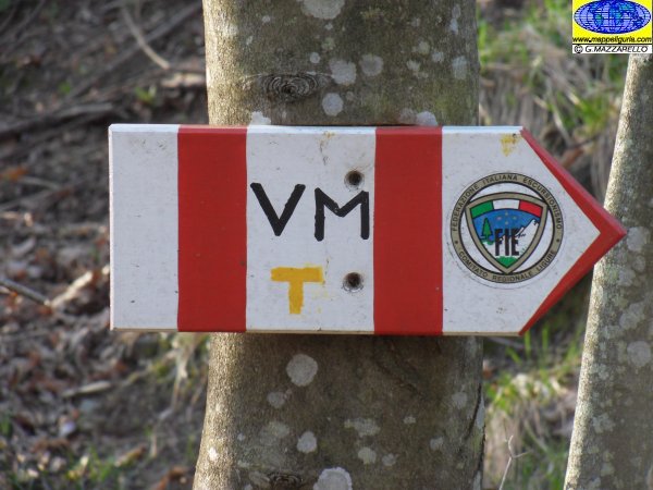
L'innesto del sentiero X rossa con Alta Via dei Monti Liguri, poco prima della Cappelletta di Sella
The intersection with High Path of Ligurian Mountains - Via dei Monti Liguri, before the chapel of Sella
La Cappelletta di Sella
The chapel of Sella
Nei pressi della Cappella di Gorra detta anche dell'America
At the chapel of Gorra or of America
Cascinetta
La bella Cappella di S.Bernardo poco sopra Cascinetta
The beautiful chapel of St.Bernardo after Cascinetta village
Le case di Fasciou
Fasciou houses
Poco sopra a Fasciou c'e' il Tiro al Volo di Montoggio
A little over Fasciou, there is the Shooting Flight of Montoggio
Lungo la sterrata che porta alla Sella del Monte Banca
Along the dirt road which leads to the Saddle of Monte Banca
Nei pressi della Sella del Monte Banca dove e' presente l'omonima Cappella
At the Saddle of Monte Banca, where there are the chapel of Banca Saddle
Lungo il sentiero nei pressi della curva poco sopra alla Cappella del Grisu
Along the path, near the curve just above the Chapel of Grisu
Il bel castagneto da frutto che si incontra prima della frazione Piani
The beautiful chestnut wood, which meets before the village Piani
Nei pressi della frazione Piani
At the village Piani
Lungo la sterrata che porta a Crosi
Along the dirt road which leads to Crosi
La piccola frazione di Crosi. Questa e' l'unica casa abitata da
Emanuele, autentico
eremita che non a caso si definisce "il ROBINSON di Crosi".
Village Crosi.
This is the only house inhabited by
Emanuele
true hermit who not surprisingly is called "the ROBINSON of Crosi"
Attraversando le restanti case diroccate dei Crosi
Crossing the remaining dilapidated houses of Crosi
Nei pressi del bivio di Gherfo
Near the junction of Gherfo
Nei pressi della sella est del Monte Penzo
Near the saddle east of Mount Penzo
Panorama sul Monte Penzo
Panorama of Mount Penzo
La Chiesetta della Madonna della Guardia di Pentema
The Church of the Madonna della Guardia of Pentema
Presso la Cappella del Colletto o dei Bucci
At the Chapel of the Colletto or Bucci
Il bivio dove ci si innesta sul sentiero che proviene da Torriglia
The junction where the road joins the trail which comes from Torriglia
I ruderi della Casa di Piccetto
The ruins of the House of Piccetto
Il Colletto delle Cianazze
The Colletto of Cianazze
Presso il bivio per il rifugio del Monte Antola. A DX e' indicato il percorso di discesa al Rifugio
At the junction with the path to the shelter of Mount Antola.
On right the way to the shelter.
L'edificio dell'ex Rifugio Bensa
The building of former Refuge Bensa
Presso la Cappella dell'Antola. Tratteggiato, dietro alla cappella e' indicato
il percorso di salita in vetta.
At the Chapel dell'Antola. Dashed behind the chapel is indicated
the ascent route to the summit.
La vetta dell'Antola con la sua grande croce bianca
The peak dell'Antola with its large white cross
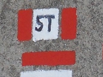
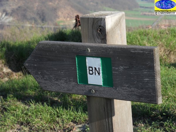
Il segnavia che si incontra scendendo verso il borgo di Caprile
The trail sign which meets down towards the village of Caprile
Presso la vasca dell'acquedotto poco prima di Caprile
The water-tank before Caprile village
Il vicolo di Caprile che scende all'arrivo
The path of the village of Caprile that descends upon arrival
SITO UFFICIALE DELLA MANIFESTAZIONE
SITO DEL CAI SEZ. SAMPIERDARENA - ORGANIZZATORE UFFICIALE DELLA RIGANTOCA







 Dalla Liguria al Piemonte su di un antico percorso tra storia natura e cultura
